Chopwell East Fields
Know before you go
Dogs
When to visit
Opening times
The site is open to the public at any time.Best time to visit
June to SeptemberAbout the reserve
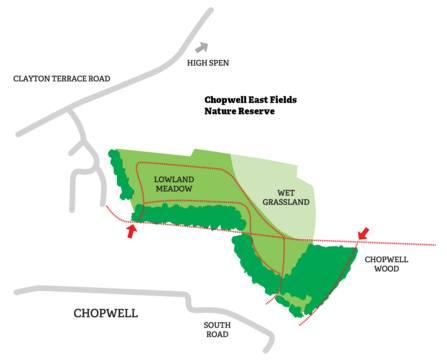
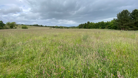
Situated between the village of Chopwell and the woodland that bears its name, Chopwell East Fields supports a mosaic of habitats on land restored from old colliery works. At a junction between pastural farmland, residential housing, and the adjoining Chopwell Woods, this Local Wildlife Site provides fringe habitat which is especially valuable for a host of species whose foraging and nesting habitats differ.
History
Chopwell Colliery operated between 1781 and 1966, and comprised of five separate pits. At its peak in 1921, the pits employed an estimated 2,185 people, and the town of Chopwell formed around this industry. With the decline in UK coal production and eventual closure of the pits, nature has been given space and opportunity to re-establish. The old wagonways that transported coal from Chopwell to the Tyne are now the main thoroughfares enabling people to explore and experience the local landscape and countryside.
Habitats
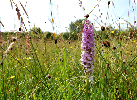
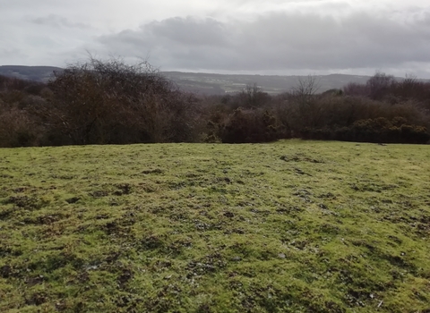
The grasslands of Chopwell East Fields are valuable for the opportunity that they present to restore threatened habitat. The UK has lost 97% of its wildflower grasslands since the 1930s and although in early stages of development, the nine hectares of lowland meadow and pasture on this reserve are important for grassland plants, pollinators and insects. The field in the north east corner is wetter, and consequently supports a different assemblage of plants and insects. This variety is beneficial for increased species diversity on the reserve. The mature hedgerow along the north boundary is noteworthy for the wildflowers throughout its base.
Species
Roe deer make use of the grazing afforded by the meadows, before retreating to the nearby woodland for cover. Kestrels hunt small mammals throughout the grasslands, and shy jays frequent the trees around the grasslands. Plants like meadowsweet and cuckooflower can be found in the wet meadow, while the woodland blocks contain shrubs and trees like ash, silver birch, larch, Scots pine, gorse, and rowan.
Management
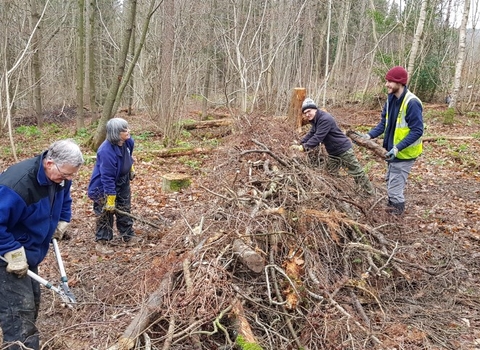
Durham Wildlife Trust manages the site on behalf of Gateshead Council. Maintaining the grasslands involves a combination of grazing and mowing to help prevent any single species becoming dominant. Both of these activities are left until late in the year to give flowering plants the opportunity to go to seed
Accessibility and facilities
Mixed terrain, not wheelchair or pushchair friendly. Kissing gates provide access to the reserve. Surfaced footpath provides access to Chopwell Woods from this site.
Species
Contact us
Environmental designation
